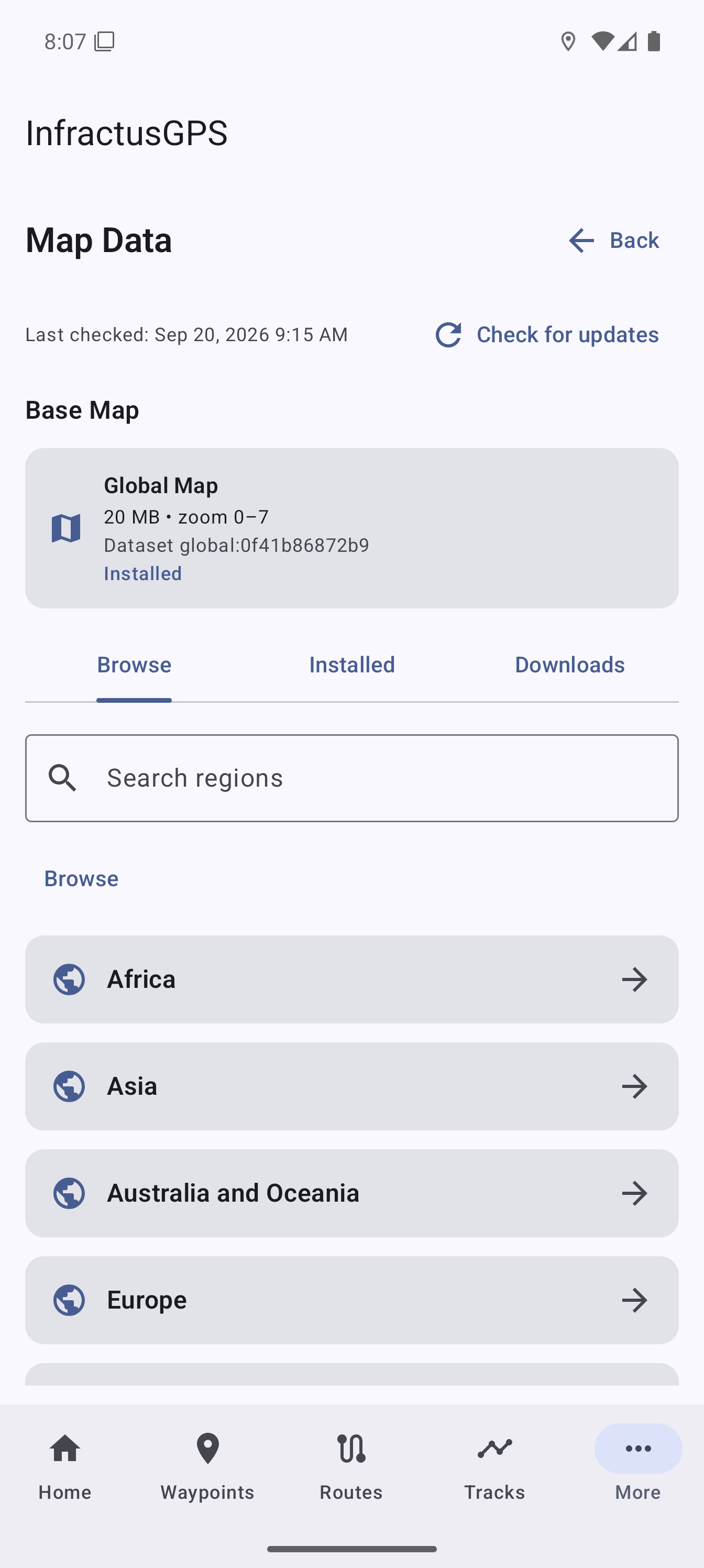
Downloadable offline maps
Browse, search, install, update, and remove regional map packages. A global base map remains available when detailed regional data is not installed.
Offline maps and practical GPS navigation for Android.
Download maps before you leave coverage, save important places, follow planned routes, record where you have been, and keep your navigation data under your control.
One purchase
Pay once.
No ads
No in-app advertising.
No subscription
No recurring fee.
Maps included
Map and contour data are included.
What you can do
Download regional maps before a trip, then view your position, waypoints, routes, and tracks when Wi-Fi or mobile data is unavailable.
Create waypoints for trailheads, campsites, parking, landmarks, or meeting points, then use distance, bearing, and compass guidance to return to them.
Build routes point by point, follow them forward or in reverse, and receive optional sound or vibration notifications as you reach each point.
Record tracks while the app is in the background, pause or resume when needed, and review the path and elevation profile afterward.
Import, preview, and select GPX waypoints, routes, and tracks. Export your saved data or share recorded track samples as CSV.
Check altitude, heading, accuracy, daylight and moon information, compass bearings, and detailed GNSS satellite status.
New in 1.3
Browse, search, install, update, and remove regional map packages. A global base map remains available when detailed regional data is not installed.
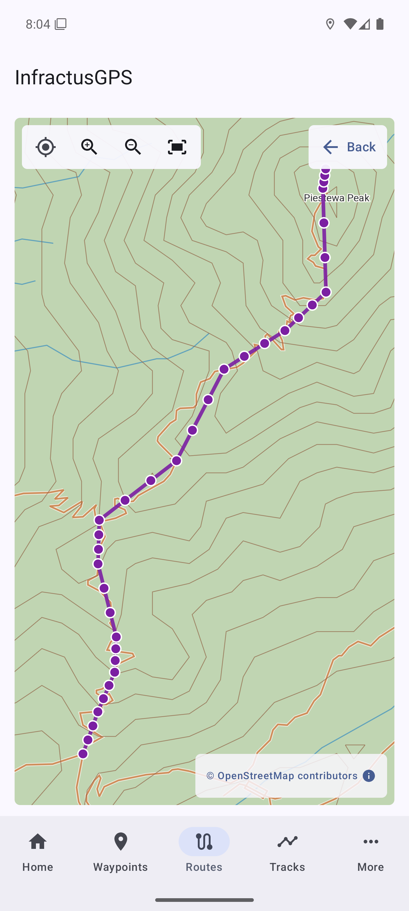
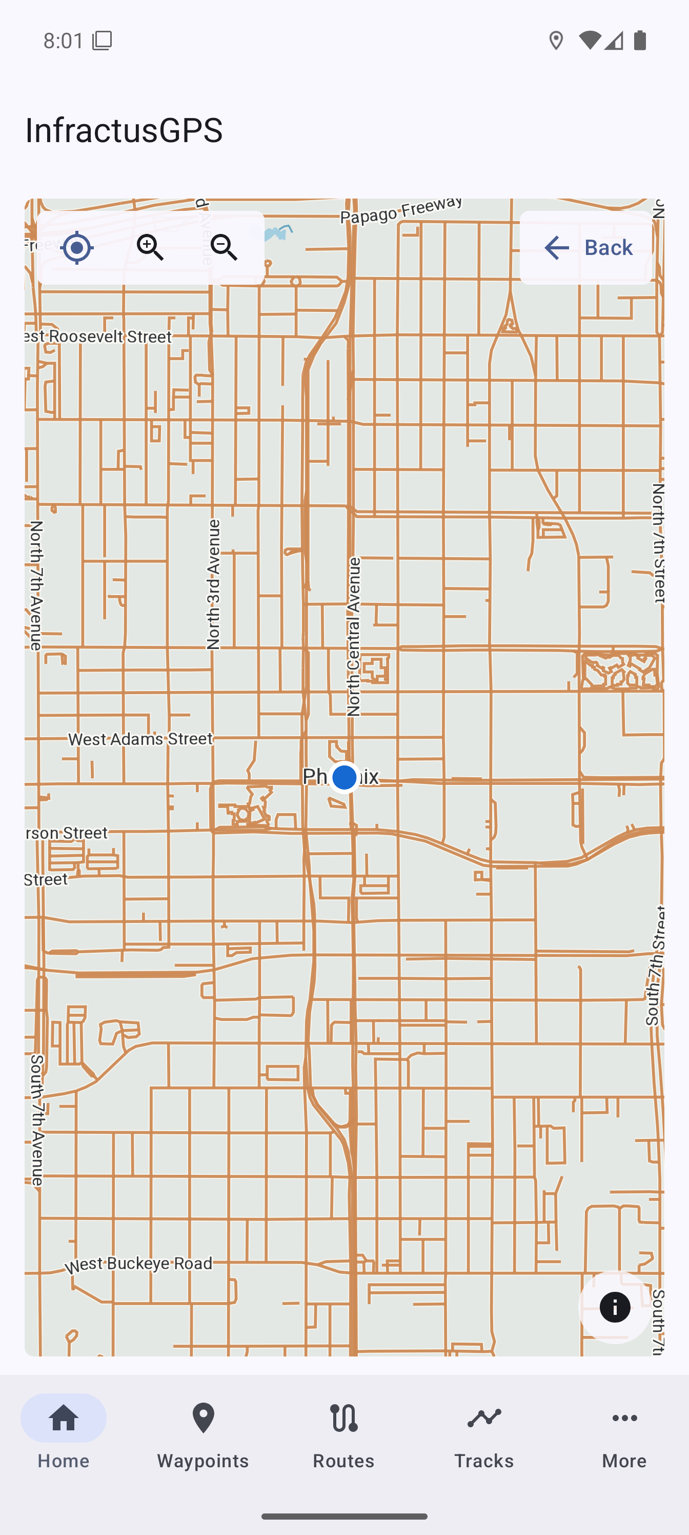
Open maps from Home, Waypoints, Routes, and Tracks. Center on your position or fit the selected item to the screen.
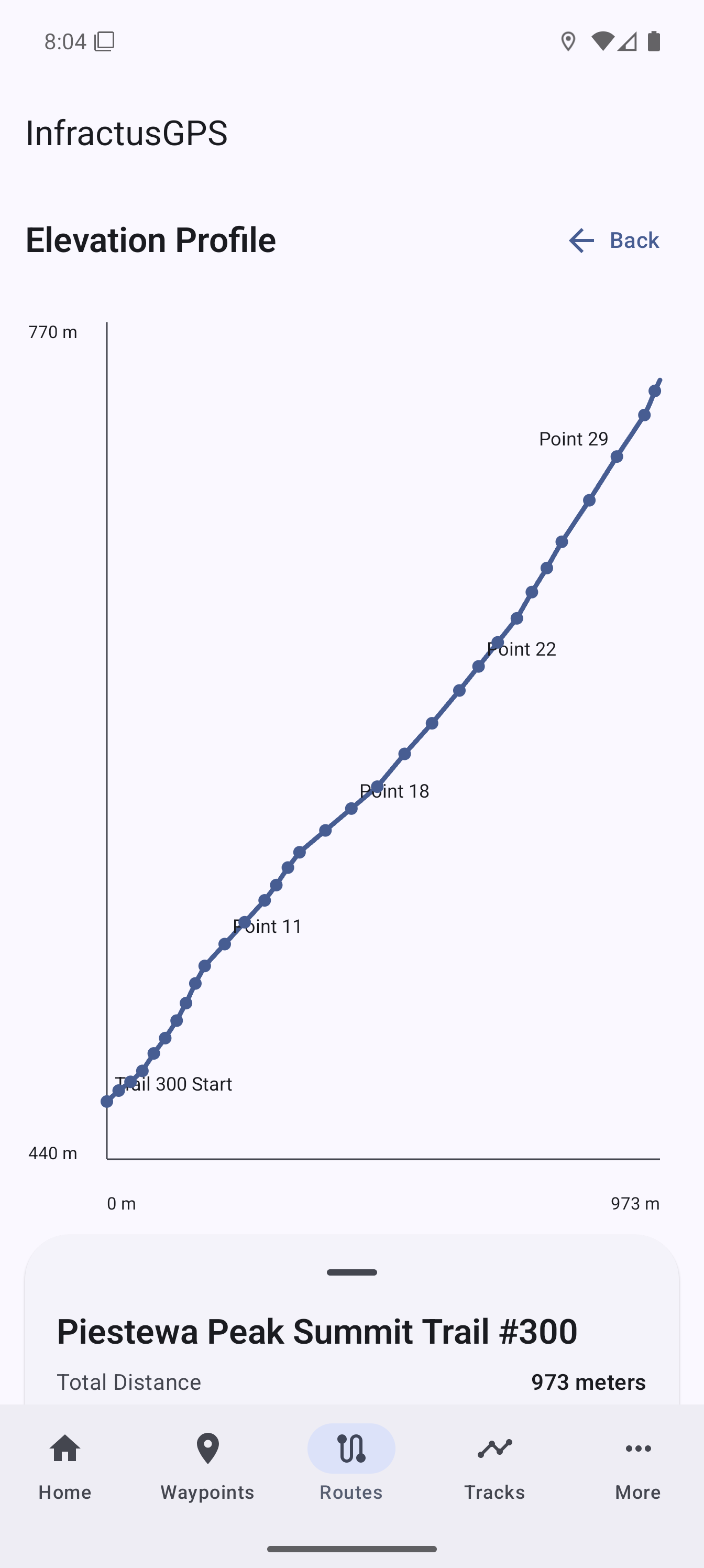
Explore distance and altitude across routes and tracks, inspect individual points, and review minimum, maximum, ascent, and descent values.
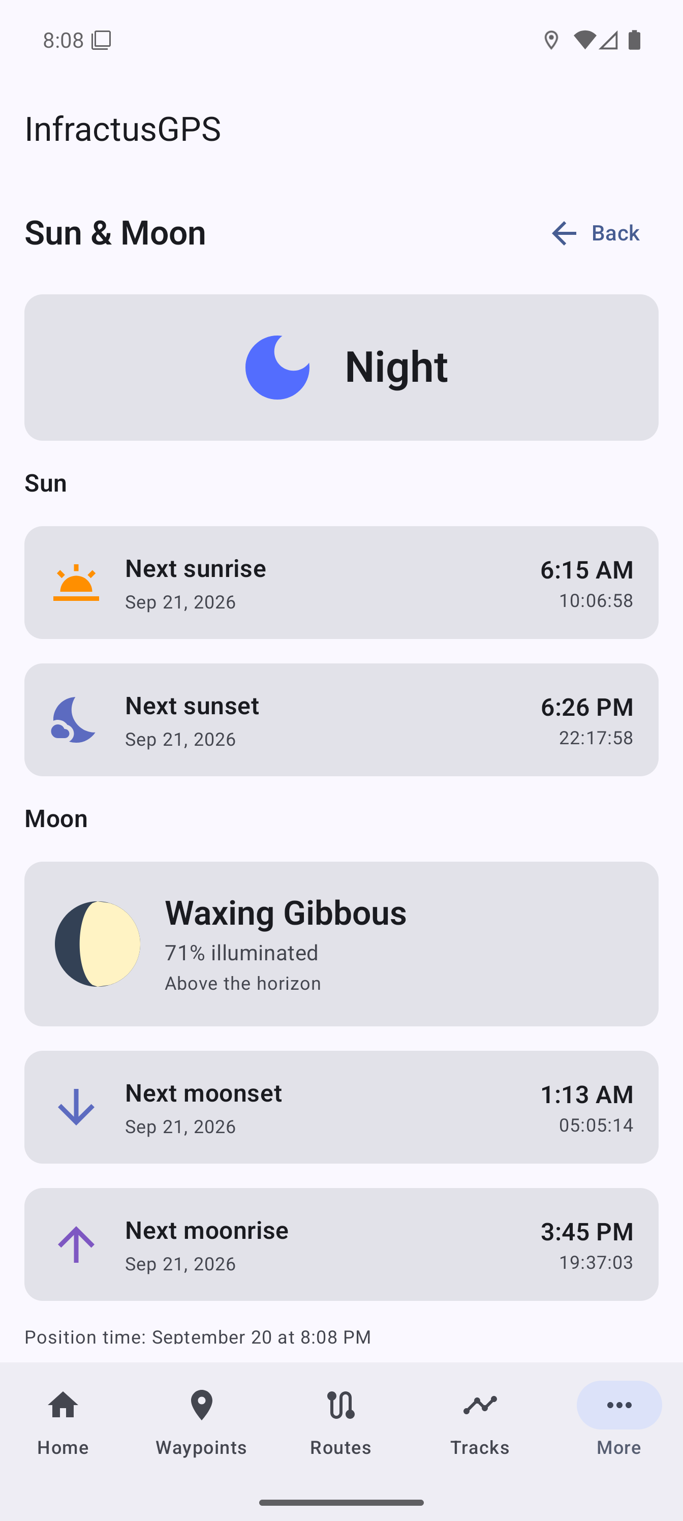
See sunrise, sunset, moonrise, moonset, moon phase, and whether it is currently day or night, calculated from your location without an internet connection.
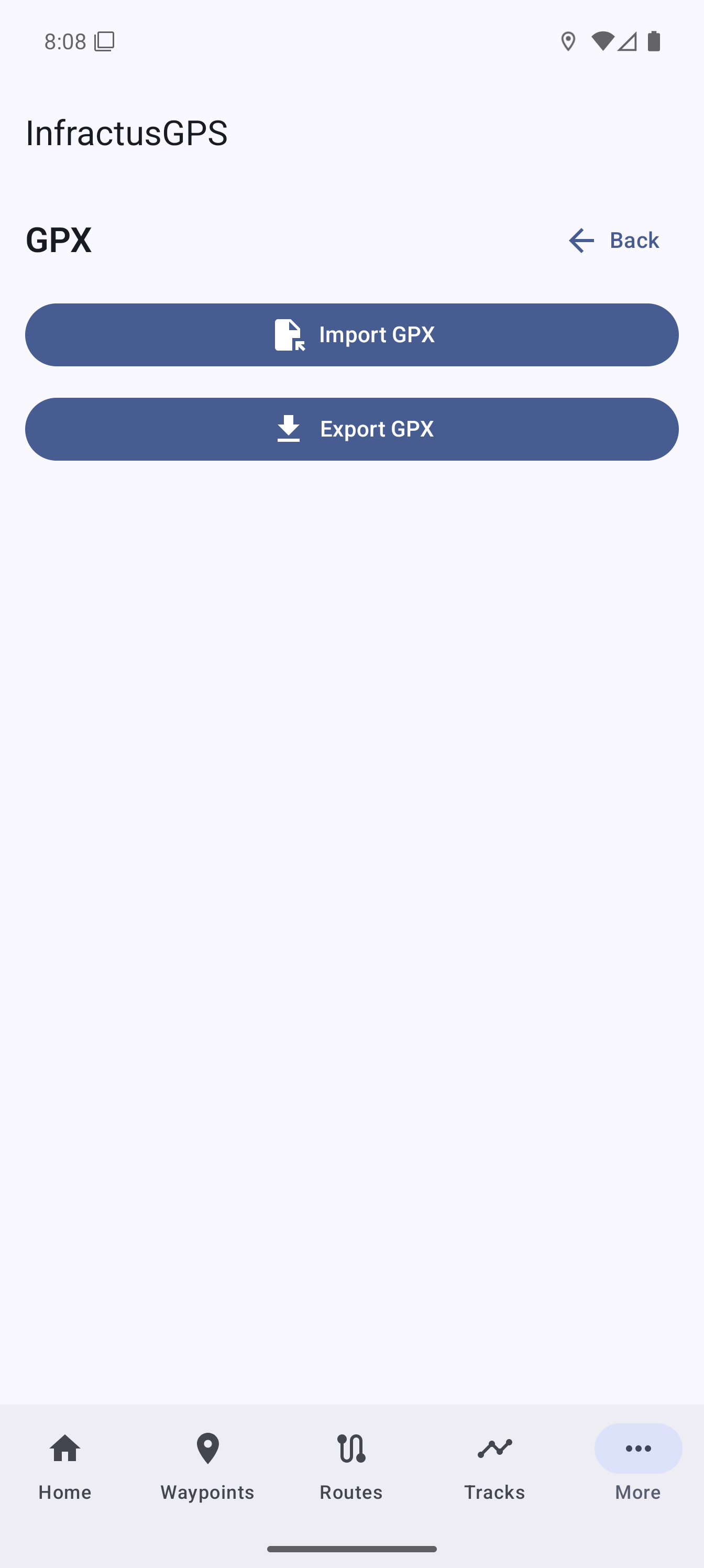
Preview an individual waypoint, route, or track on the map before importing it, without changing your stored data or current import selections.
Offline coverage
Regional map packages cover supported areas in North America, Europe, Asia, Australia and Oceania, South America, and Africa. Thirty-meter contour packages are available for all 50 US states, and an included global base map covers zoom levels 0-7. All available map and contour packages are included with the app purchase at no additional charge.
322
Regional map packages
50
US contour packages
In the app
Route following
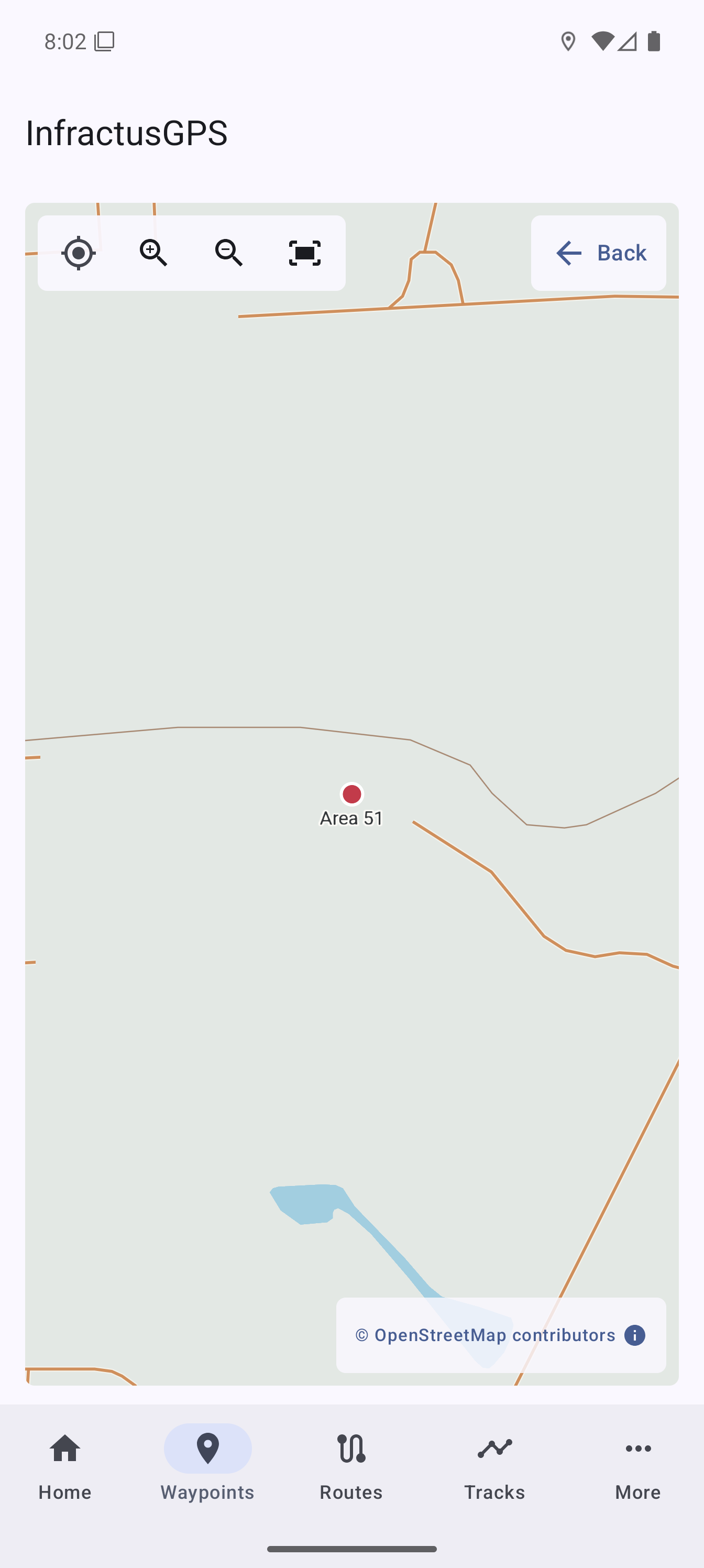
Waypoint map
Route elevation
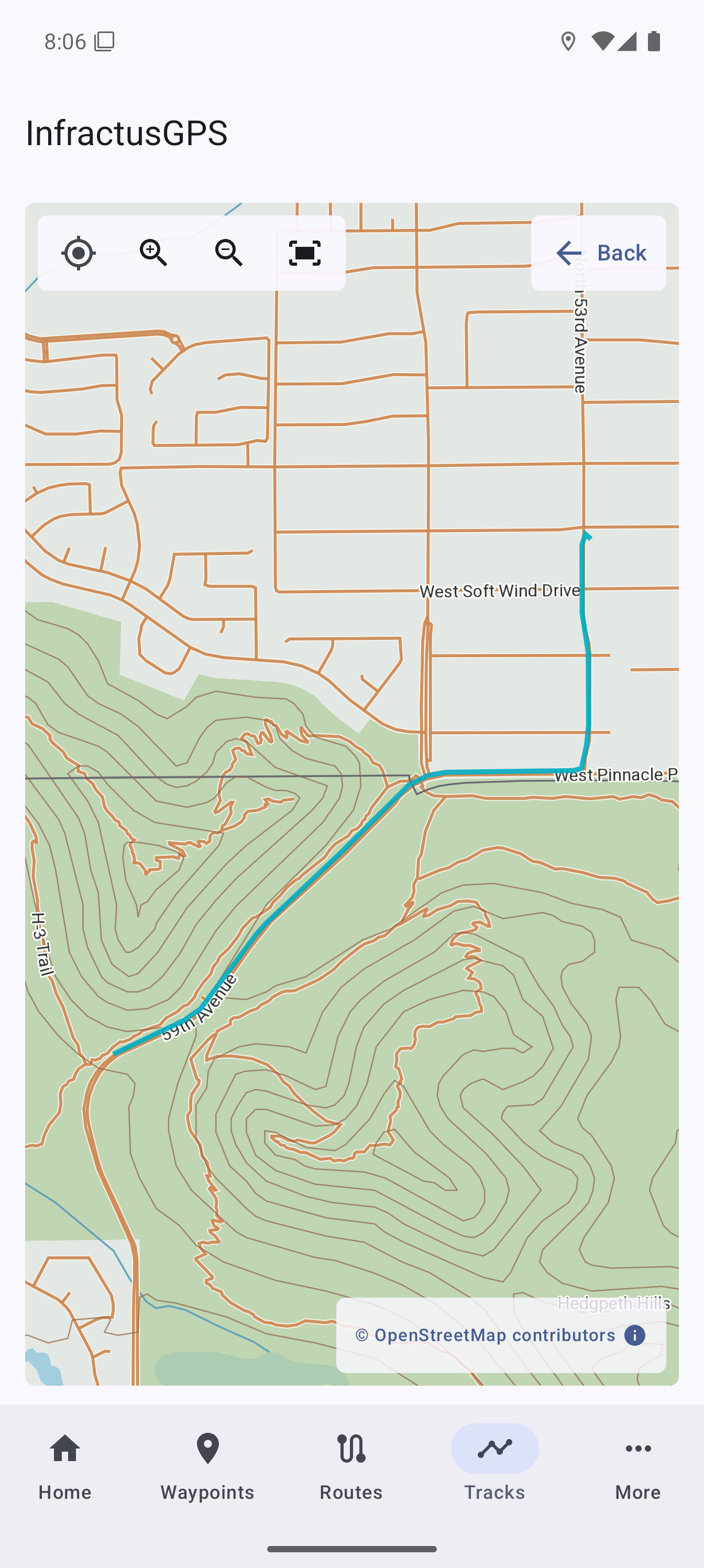
Recorded track
Offline map data
Sun and Moon
GPX exchange
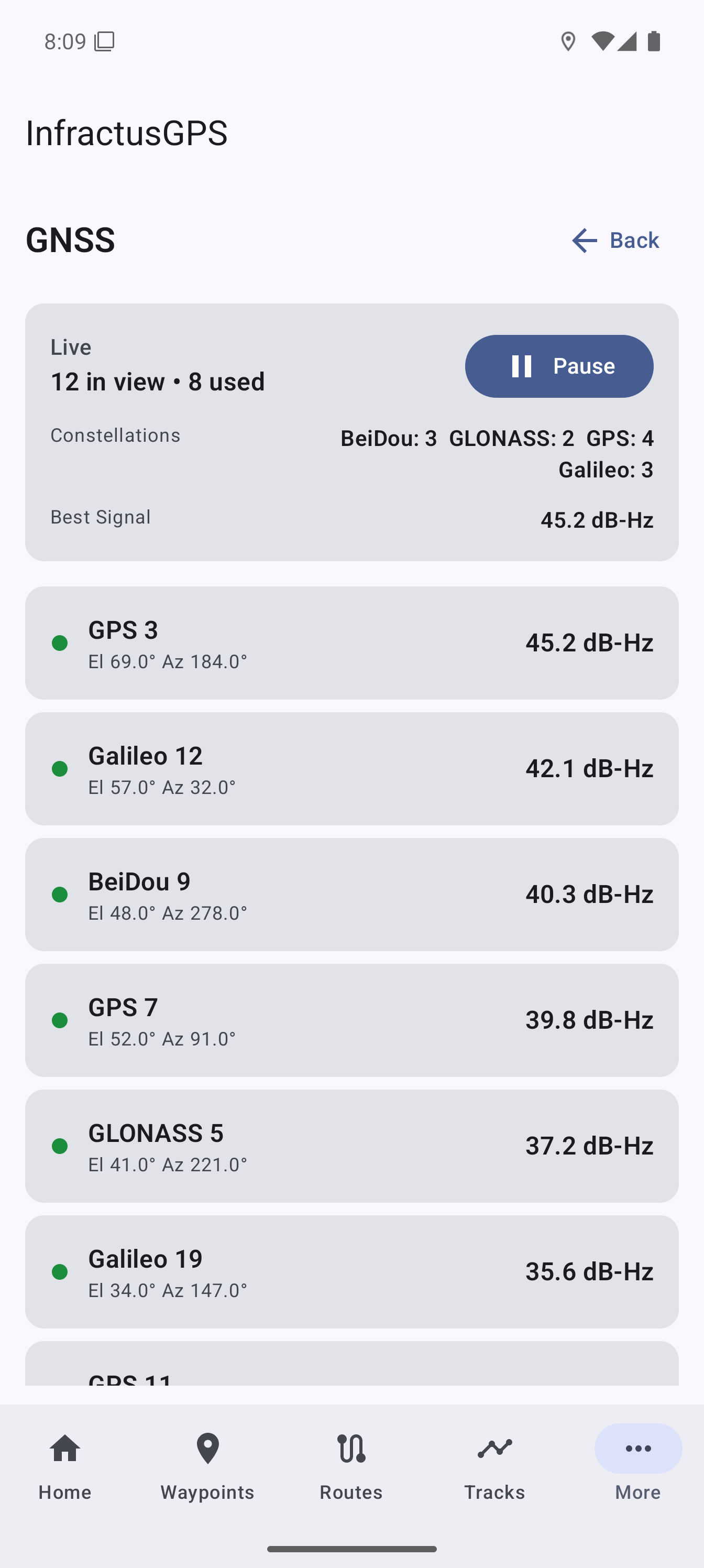
GNSS diagnostics
FAQ
No. InfractusGPS is offered as one purchase with no subscription and no in-app advertising.
Yes. Download the regional map packages you need before leaving coverage. Position, waypoints, routes, tracks, compass tools, and previously downloaded maps can be used without an Infractus Labs account or active data connection.
InfractusGPS imports and exports GPX waypoints, routes, and tracks. You can preview individual GPX objects before import, and recorded track samples can also be shared as CSV.
Routes, tracks, waypoints, and location samples are stored primarily as local application data. Sharing or export happens when you initiate it.
Yes. Active route following and track recording can continue while the app is in the background, subject to Android permissions and device settings.
Routes, tracks, waypoints, and location samples are stored primarily on your device. Sharing and export happen when you initiate them.
Download maps, plan your route, and keep your navigation data on your device.